Commercial Real Estate Drone Services
High-End Property Marketing and Interactive Site Documentation
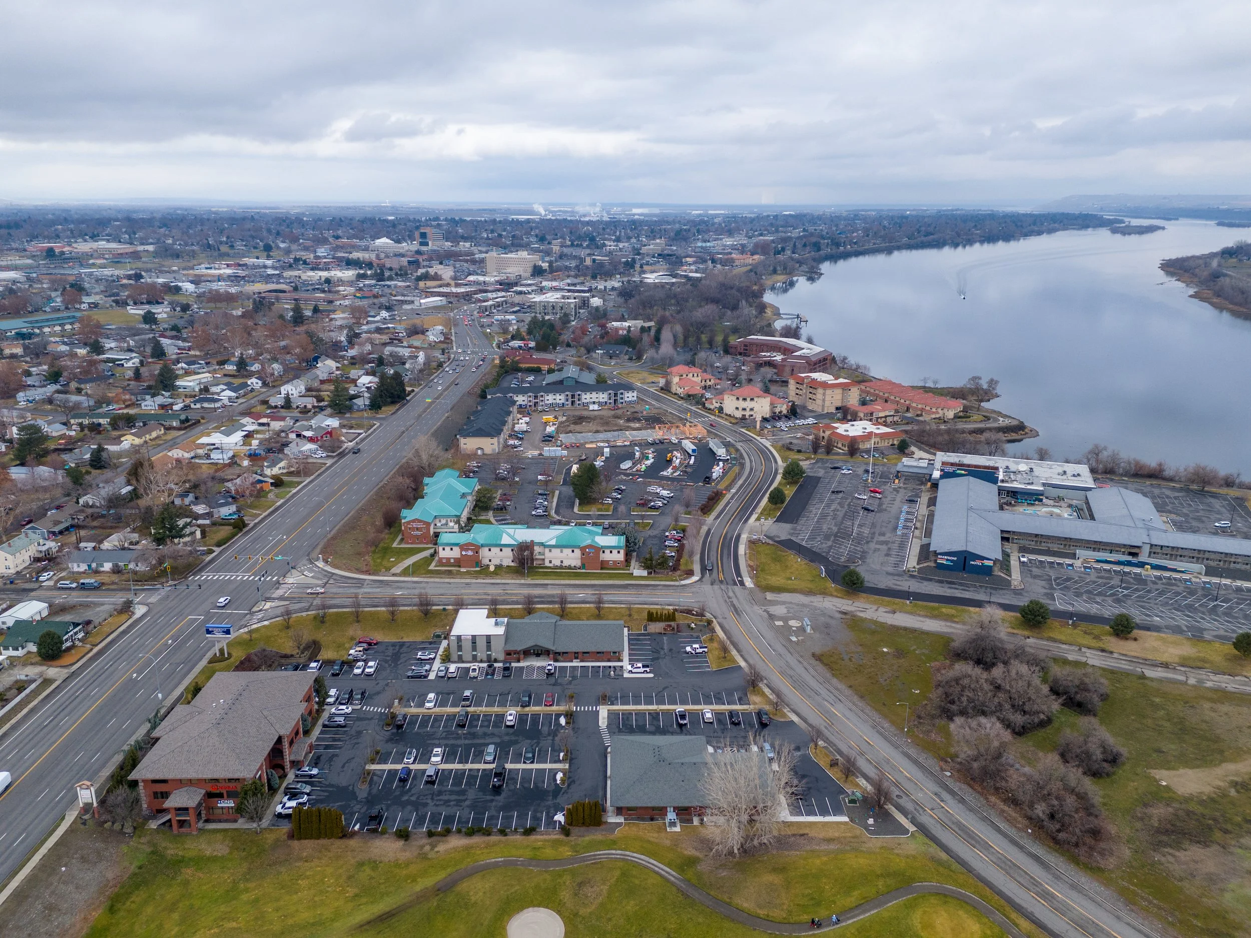
Showcase your commercial listings from an entirely new perspective. Highres Drone Services provides premium aerial photography and videography across Kennewick, WA and the Pacific Northwest, specifically designed to accelerate the sale or lease of commercial assets. We combine cinematic 4K visuals with technical site data to give potential buyers and tenants a comprehensive view of the property, its surroundings, and its full investment potential.
Cinematic 4K Property Tours: Engaging video that highlight architectural features and the surrounding landscape.
High-Resolution Boundary Overlays: Accurate aerial photos with graphical overlays indicating property lines, easements, and zoning zones.
360-Degree Panoramic Views: Interactive aerial panoramas that allow viewers to explore the entire area from a fixed altitude.
Quarterly Site Progress for Developers: Document the evolution of new commercial developments to keep investors and future tenants informed.
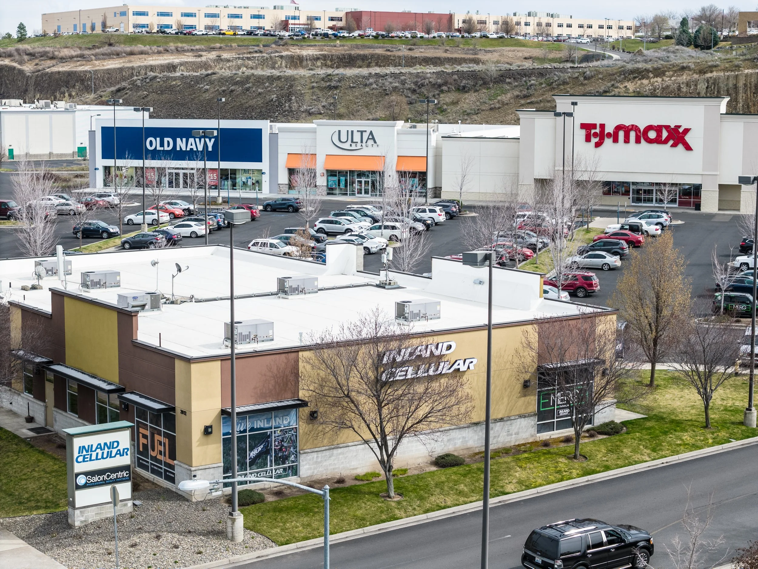
We specialize in creating high-impact visual assets that go beyond standard photography. By utilizing precise flight paths and professional editing, we produce smooth aerial tours and interactive site maps that highlight property boundaries, nearby transportation hubs, and neighborhood context. This data-driven visual approach allows brokers and developers to communicate complex property details effectively, reducing time-on-market and enhancing the overall listing quality.