Drone Construction Progress Monitoring in Kennewick & Beyond
Data-Driven Site Oversight for On-Time and On-Budget Project Delivery
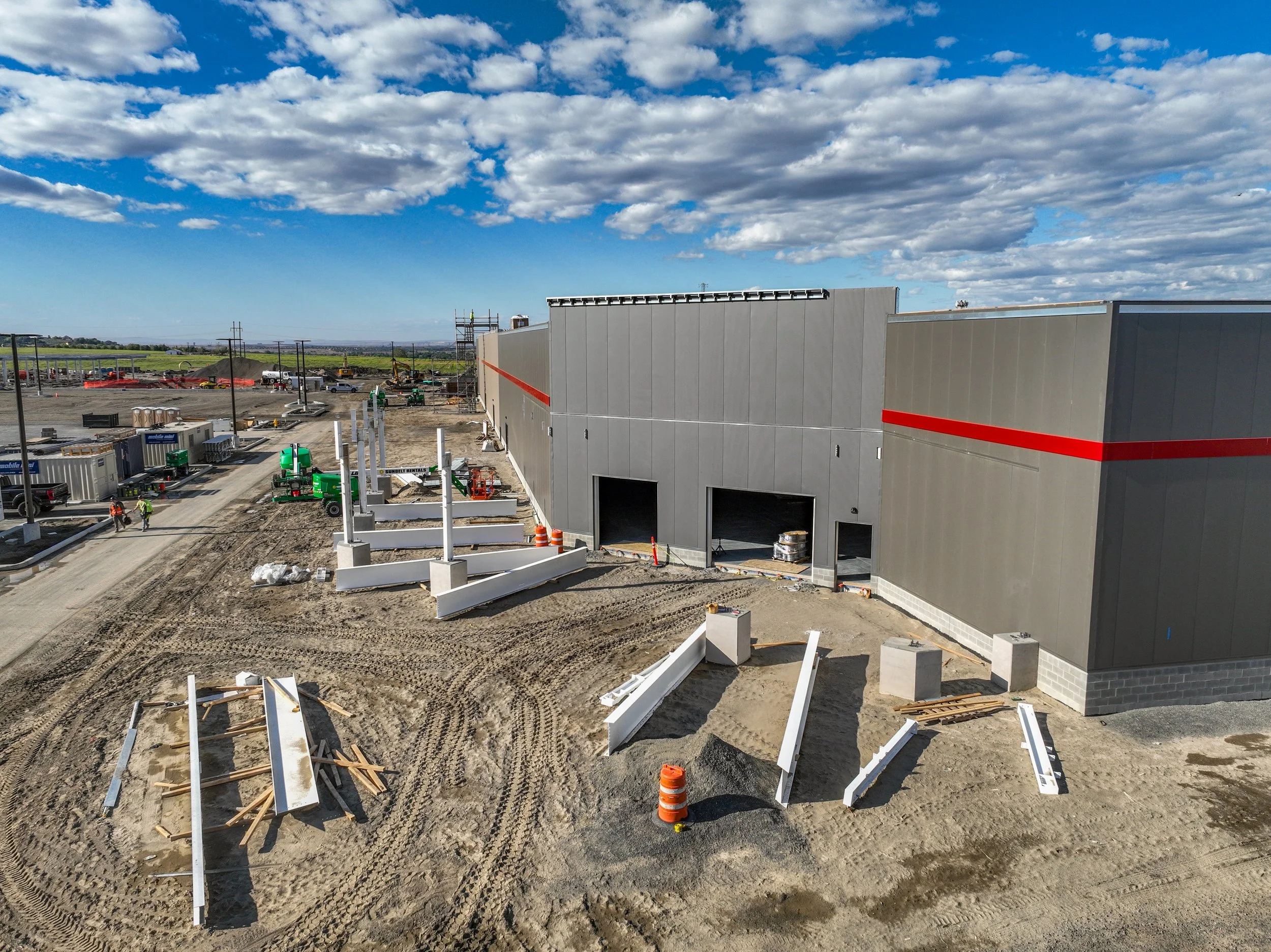
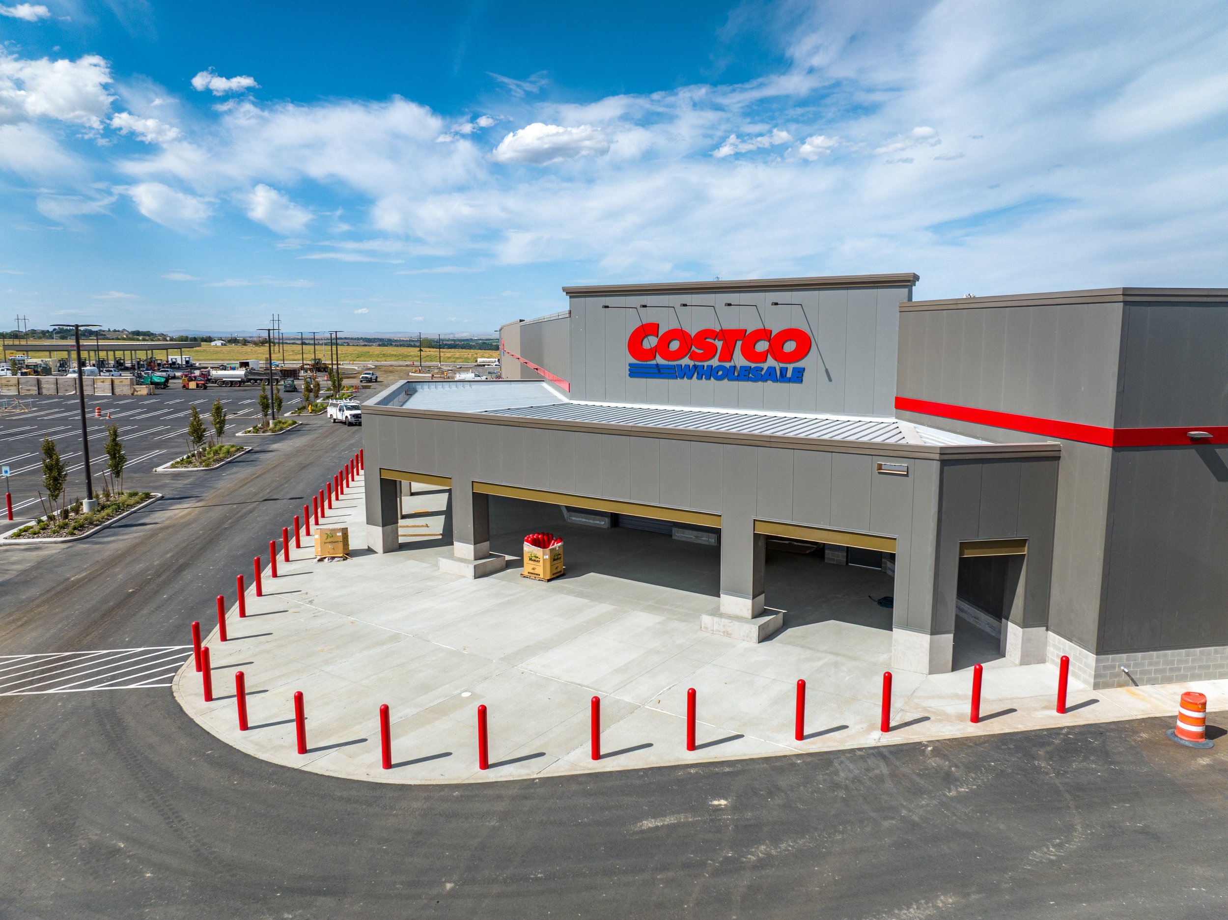
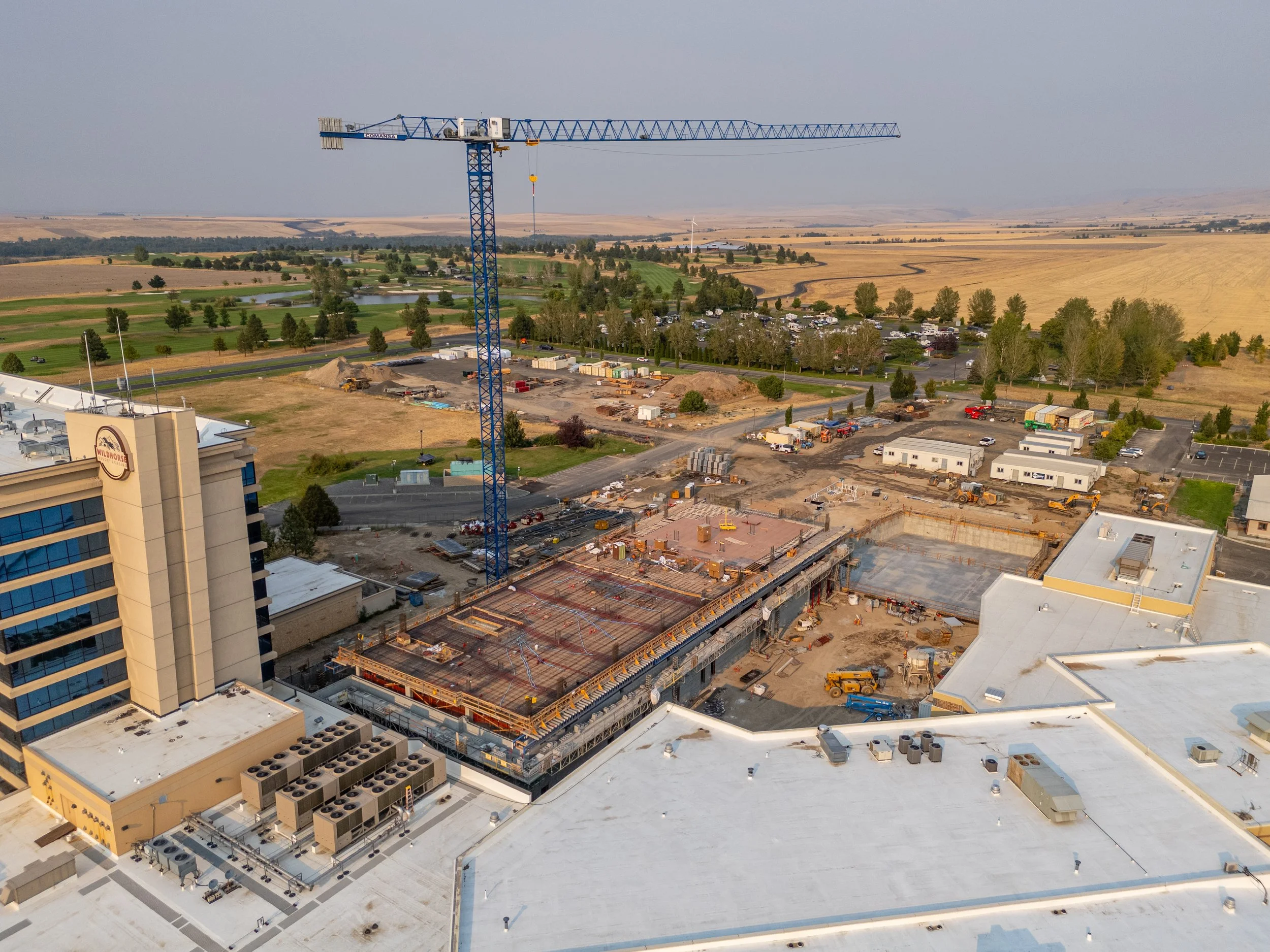
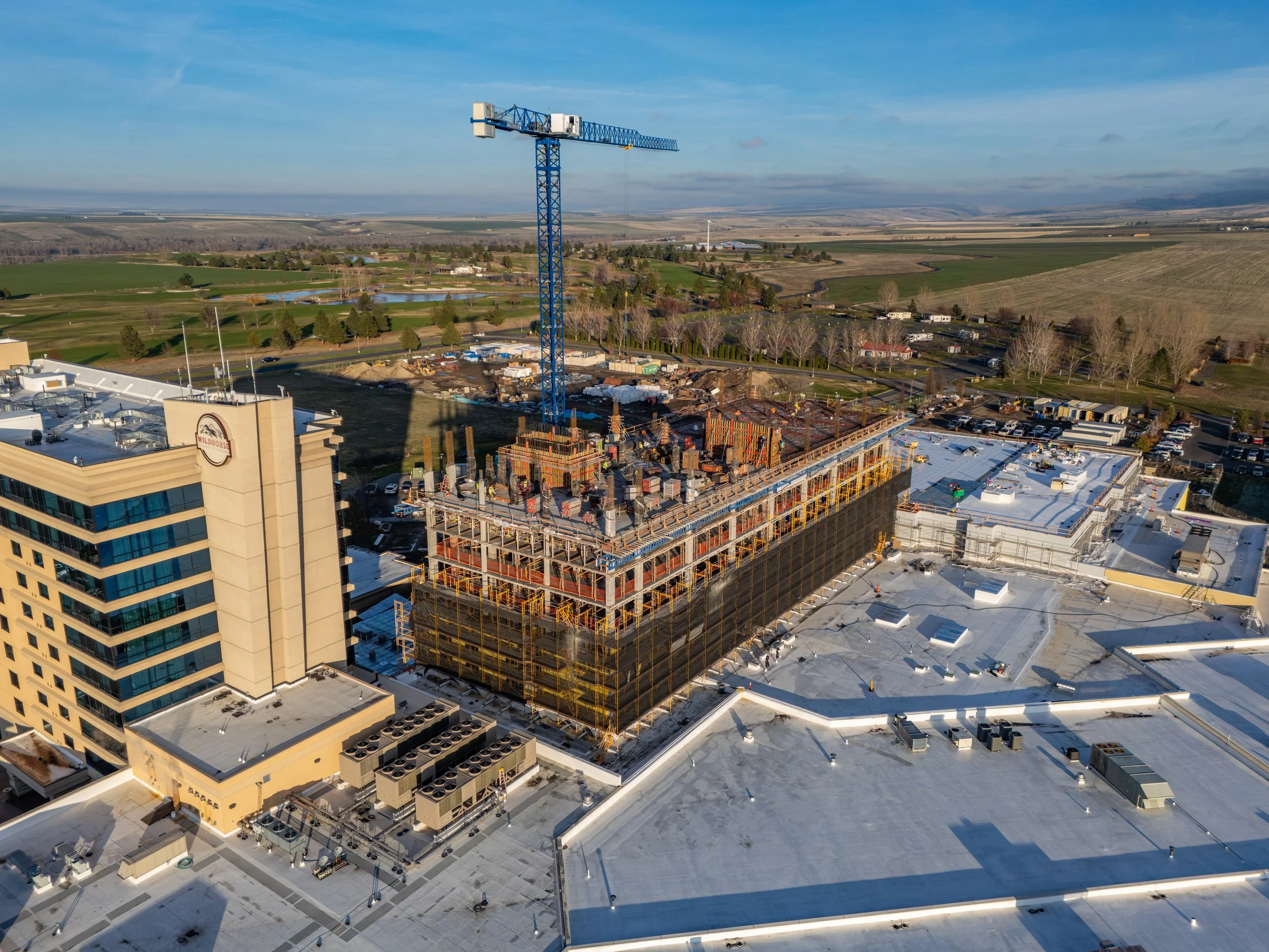
In the fast-paced world of construction, visibility is everything. Highres Drone Services provides high-frequency aerial documentation that transforms how you manage your job site. We provide more than just photos; we deliver actionable data through high-resolution orthomosaics, 3D models, and time-lapse progression reports that keep stakeholders informed and projects on track.
Why Integrate Aerial Intelligence?
Enhanced Stakeholder Transparency: Provide owners and investors with a bird’s-eye view of monthly or weekly progress without them needing to step foot on-site.
Precise Site Documentation: Capture every phase of the build, from foundation to finish, creating a permanent digital record for compliance and future maintenance.
Improved Safety & Efficiency: Identify potential hazards and logistical bottlenecks early, reducing risk and costly rework.
BIM & CAD Integration: Export survey-grade data that integrates directly with your existing engineering workflows.